


![Report: Comparison of standardization & geocoding services [ranking]](https://algolytics.com/wp-content/uploads/2026/06/pexels-googledeepmind-17485657-4-1024x576.jpg)

The Algolytics postal codes, localities and streets database covers the whole of Poland and holds over 400,000 current, high-quality records. It contains data on localities, streets and numbering ranges mapped to individual postal codes, complete with TERYT identifiers. It's a reference data source that - once integrated with your systems - lets you build address-processing solutions, for example in e-commerce, online banking, or CRM and ERP systems.
Postal codes, localities and streets database


Trusted by:



What is a postal codes, localities and streets database?
A postal codes, localities and streets database is an organized set of data on Poland's address structure, in which localities, streets and numbering ranges are matched to their correct postal codes.
On top of that comes the full administrative breakdown - province (województwo), county (powiat), municipality (gmina), locality and part of a locality - each with its own TERYT identifier. This makes it easy to link postal codes and address elements to official state registers.
It's a layer of reference data that you implement yourself - you can use it to build, say, autocomplete or validation for localities, streets and postal codes. The database itself isn't a service; it's the foundation for one.
The database works at the level of localities, streets and numbering ranges rather than individual buildings - if you need data down to a specific building together with its coordinates, you'll find it in the buildings address database.
Our data is used by financial institutions and by companies in telecommunications, e-commerce and logistics.
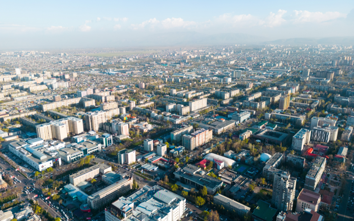
Postal codes, localities and streets for all of Poland - over 400,000 records
What does the database contain?
The postal codes, localities and streets database contains:
- The province, county and municipality names together with their TERYT identifiers,
- The name of the primary locality (e.g. Warszawa, Zielona Góra) and its TERYT identifier,
- The name of the part of the locality (e.g. Mokotów, Łężyca) and its TERYT identifier,
- The street name and its TERYT identifier,
- The numbering range - separate records for even and odd numbers - where a single street has more than one postal code,
- The postal codes for the given locality, street and numbering range.
The database's key value: it links TERYT identifiers (from GUS, the Central Statistical Office) with postal codes from the PNA index (Poczta Polska, the Polish Post) - two independent, official registers.
Product details
- Contents: postal codes, localities, parts of localities, streets, numbering ranges and TERYT identifiers
- Number of records: over 400,000
- Coverage: the whole of Poland
- Data sources: the TERYT register (GUS, the Central Statistical Office) and the PNA index (Poczta Polska)
- Data format: CSV (XLSX or ODS on request)
- Updates: quarterly (current CSV file)
- Technical support: full assistance with implementation and integration
Postal codes, localities and streets in the PNA system
Polish postal codes belong to the Postal Address Number system (PNA) and take the format dd-ddd. The reach of a single code varies enormously: one code may cover many localities and even parts of several municipalities, while another applies to a single street or even one address. On top of that, the boundaries of code areas do not line up with the administrative division.
Because a code can be assigned at such a fine-grained level, the locality or street alone often isn't enough - which is why our database goes down to the level of numbering ranges. Where a single street is served by several codes (and on long streets there can be a dozen or more), each range of numbers has its own record with the correct code, rather than an approximation for the whole street or locality. The database reflects the state as of the update date.

Put the Algolytics postal codes, localities and streets database to work in your business

Key benefits of the postal codes, localities and streets database

Completeness and scale
Over 400,000 records covering postal codes, localities, parts of localities and streets across the whole of Poland.

Integrated, official sources
The database combines data from the TERYT register (GUS) with the PNA index (Poczta Polska) - two independent, official sources in a single, consistent set.

Postal codes linked to TERYT
Every level of the division (province, county, municipality, locality, part of a locality, street) has its own TERYT identifier, linked to postal codes wherever they are assigned. That makes it easy to join the data with other registers.

Support for multiple codes on one street
Numbering ranges split into even and odd numbers let you assign the correct postal code even on streets served by several codes.

Easy integration
We provide the data in CSV, supported by any CRM, ERP or analytics tool, so it's easy to put to work in your chosen use case.

What can you use the postal codes, localities and streets database for?
The database provides reference data that - once integrated with your systems - you can use to, among other things:
- Build a service that suggests (autocompletes) localities, streets and postal codes in forms,
- Validate localities, streets and postal codes entered by users,
- Enrich your own data with TERYT identifiers and postal codes,
- Run analysis and reporting by postal code, locality and street.
Important: the database is a data source, not a ready-made service. Autocomplete or the standardization of address records is delivered by dedicated solutions built on this data - the database doesn't replace them, it underpins them.
Who is the postal codes, localities and streets database for?
The database is especially well suited to:
- E-commerce companies: as a source of correct postal codes and locality and street names in order forms,
- Financial institutions: as reference data when opening accounts and in customer service processes,
- Telecommunications companies: as a consistent reference layer of localities, streets and codes in subscriber databases,
- Logistics companies: as a basis for correct postal codes when planning service areas,
- Data management teams: to enrich their own data with TERYT identifiers and postal codes.
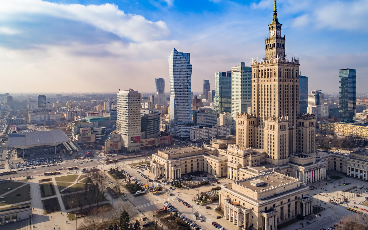

How do you get started with the database?
- Download a data sample - fill in the short form on the page and get access to a prepared sample so you can check the quality, scope and fit of the data to your needs.
- Integrate with your systems - import the CSV file into your CRM, ERP, online store or analytics tool and use the data however you like. We offer full technical support and consultation.
- Receive updates - every quarter we send an updated CSV file with current data, so you're always working from the latest state.
Download a data sample and see how it can support your business
If you're looking for reliable data on postal codes, localities and streets, integrated with TERYT identifiers, the Algolytics database will be a solid foundation for your solutions.
Fill in the form, download a free data sample, and see the quality and consistency of our solution for yourself. We guarantee high-quality data, full support with implementation, and secure integration with your systems.
Trusted by 50+ of the largest financial institutions and telecommunications, e-commerce and logistics companies


The Algolytics address database contains some of the most detailed and reliable information we have. It helps us run better analyses and make more informed strategic decisions.
Representative of an INSTITUTE FOR TERRITORIAL DEVELOPMENT
Postal code database vs. postal code map - what's the difference?
The postal codes, localities and streets database is tabular data: postal codes, locality and street names, and TERYT identifiers, delivered as records ready to use in your systems.
The postal code map, by contrast, is spatial data - the boundaries of code areas shown on a map - intended for geographic analysis and building sales territories. The two products complement each other nicely: the database supplies organized names and codes, while the map lets you analyze them in space.

Explore the other Algolytics databases

Spatial data
Make sound business decisions based on precise spatial information for every address in Poland.

Address data
Get comprehensive, regularly updated address databases and process Polish and international addresses effectively.

Postal code map
A database of postal codes with their coverage areas, plus the locations of postal outlets and institutions with individual codes.

Localities database
Localities - administrative affiliation, TERYT, the geographic coordinates of the locality center, and the number of dwellings and buildings.

Buildings database
Data at the level of individual buildings, e.g. the number of dwellings, the number of residents by sex and age, and geographic coordinates.


Frequently asked questions
What does the postal codes, localities and streets database contain?
The database contains the names of provinces, counties, municipalities, primary localities, parts of localities and streets, together with their TERYT identifiers, as well as numbering ranges and the postal codes assigned wherever they occur. In total, that's over 400,000 records covering the whole of Poland.
Where does the data come from?
The database integrates data from the TERYT register maintained by the Central Statistical Office (GUS) with the PNA index from Poczta Polska. Combining these two independent, official sources into one consistent set is one of the database's key strengths.
Does the database handle streets served by several postal codes?
Yes. For such streets the database holds separate records for the individual numbering ranges, including a split into even and odd numbers, so that each range of numbers maps to the correct postal code.
What format do you provide the data in?
We provide the data in CSV, which you can easily import into any CRM, ERP or analytics tool. Other formats, such as XLSX or ODS, are available on request.
Does every record in the database have a postal code assigned?
Not every one. The TERYT register (GUS) contains more localities than Poczta Polska's PNA index, and we don't fill those gaps artificially, so as to stay fully consistent with the official sources. A postal code, moreover, doesn't depend on there being a post office in a given locality.